Alumnus
Rajat Rao
rajat.rao@ncf-india.org
Research Assistant, High Altitudes
I work as a Geospatial Analyst and Data Manager with the High Altitude Program, where I manage spatial datasets, support cartographic needs, and integrate technology into conservation workflows. I hold a Master’s degree in Wildlife Conservation Action and a Bachelor’s degree in Electronics and Communication Engineering, and I am currently pursuing a diploma in Geoinformatics from IGMPI. This background gives me a strong foundation in both ecological research and technological tools. My Master’s thesis focused on a GIS-based analysis of habitat degradation around Bengaluru’s IT belt. Passionate about high-altitude ecosystems, I am particularly interested in studying the impacts of human activity and climate change on landscapes. Outside of work, I enjoy trekking, birding, cycling, and the occasional TV binge.
Publications

Journal Article
2025
Camera traps placed to detect predators underestimate prey densities

Journal Article
2025
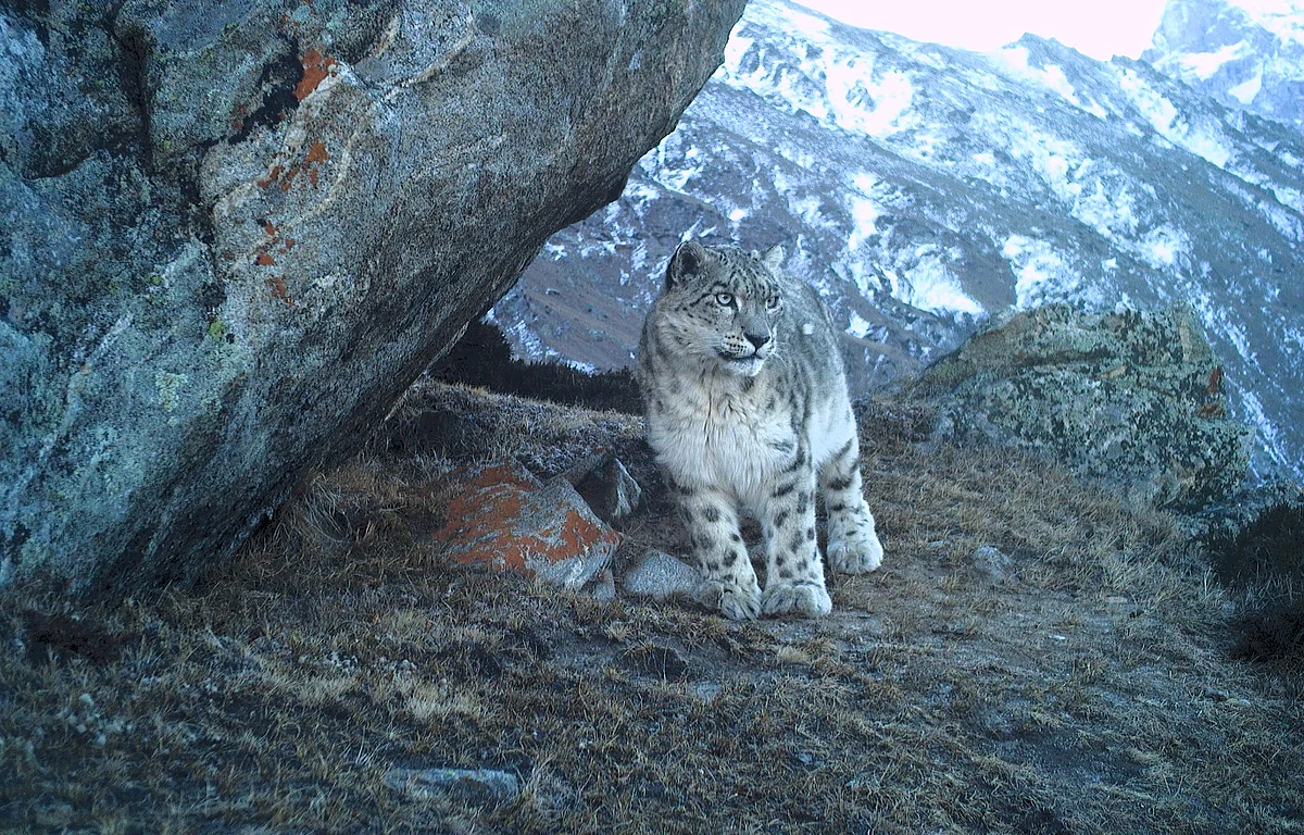
Finding the ghosts: Snow leopard density and distribution in the multi-use region of Jammu and Kashmir, India

Report
2025
Understanding the Ecological Characteristics of Habitat Types across Changthang

